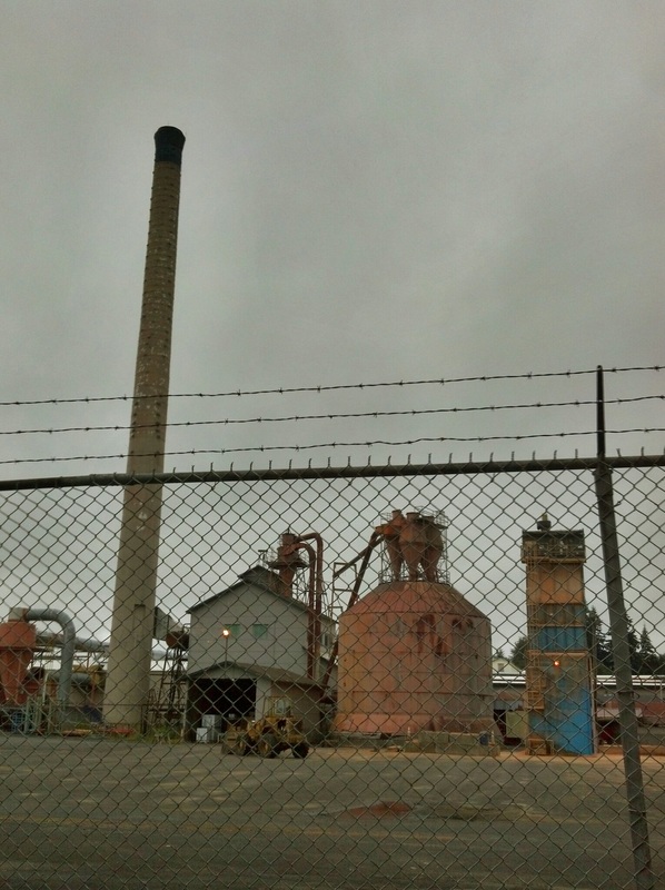
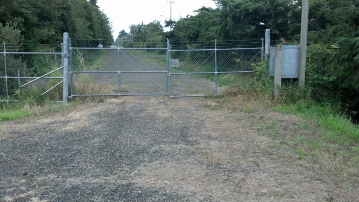
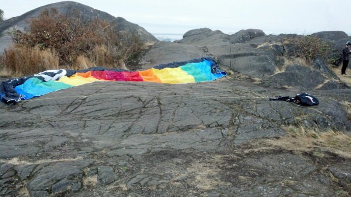
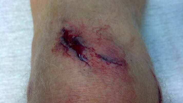
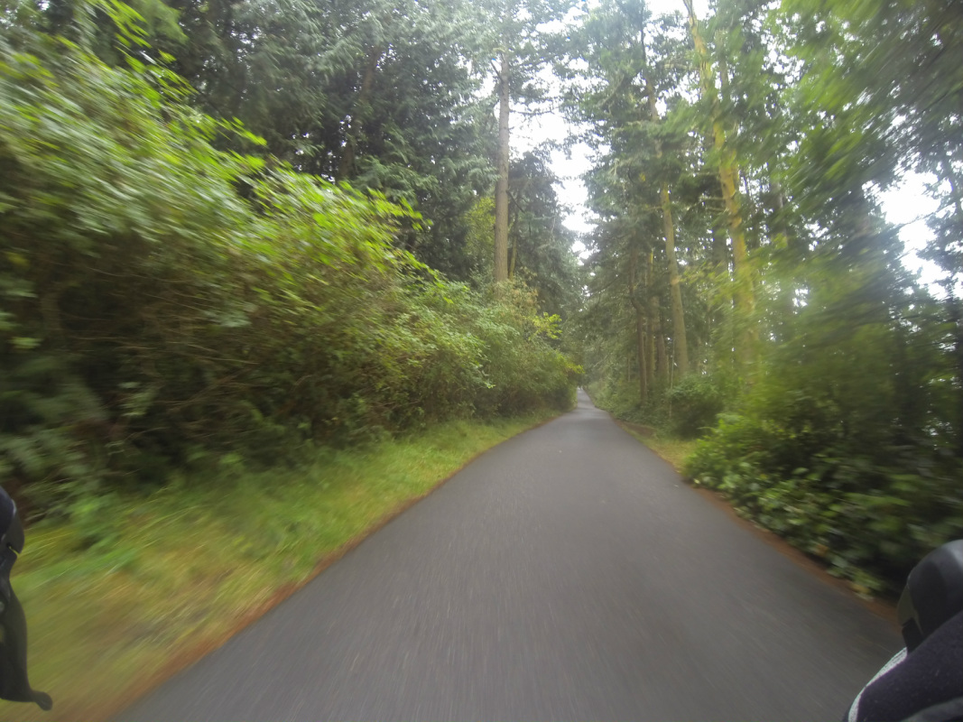
Let me start with this. My turn-by-turn directions were perfect. But when you're riding down a bike path and suddenly the path is completely blocked for construction, or when you're supposed to make a left turn and that turn is totally fenced in, it's not easy to get back on route. Take this turn, for example: there was no way around that fence.

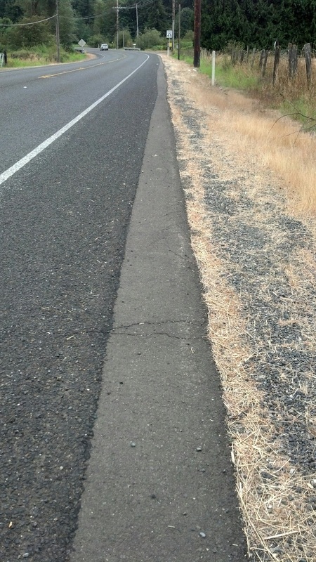
Or how about street names that change three times? And here's my favorite: unmarked streets! I made a turn on one unmarked street, hoping it was Central Park Drive, and it took at least three miles and two stops with mapping checks (in the rain) before I was rewarded with a Central Park Drive sign and a big sigh of relief!
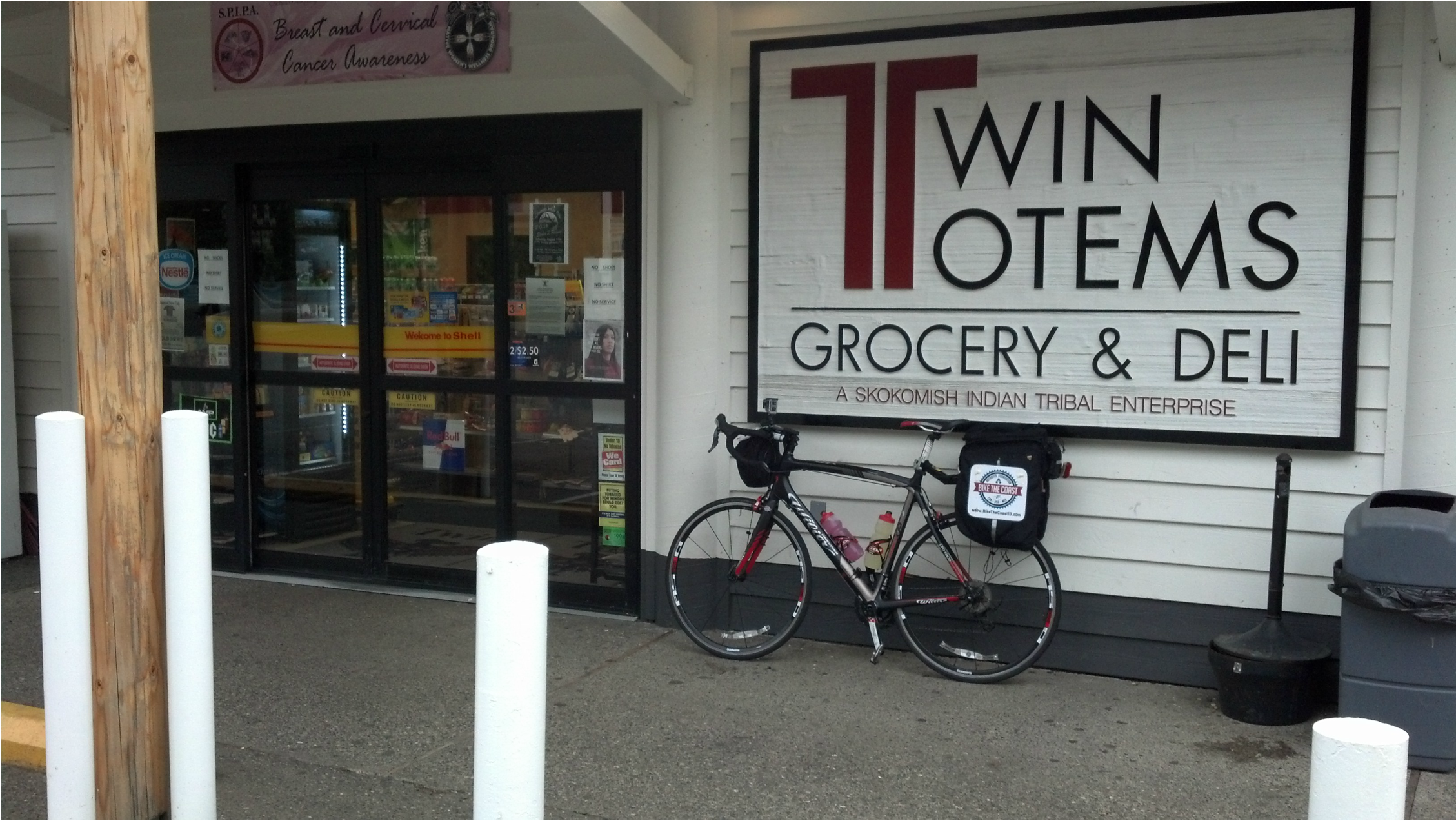
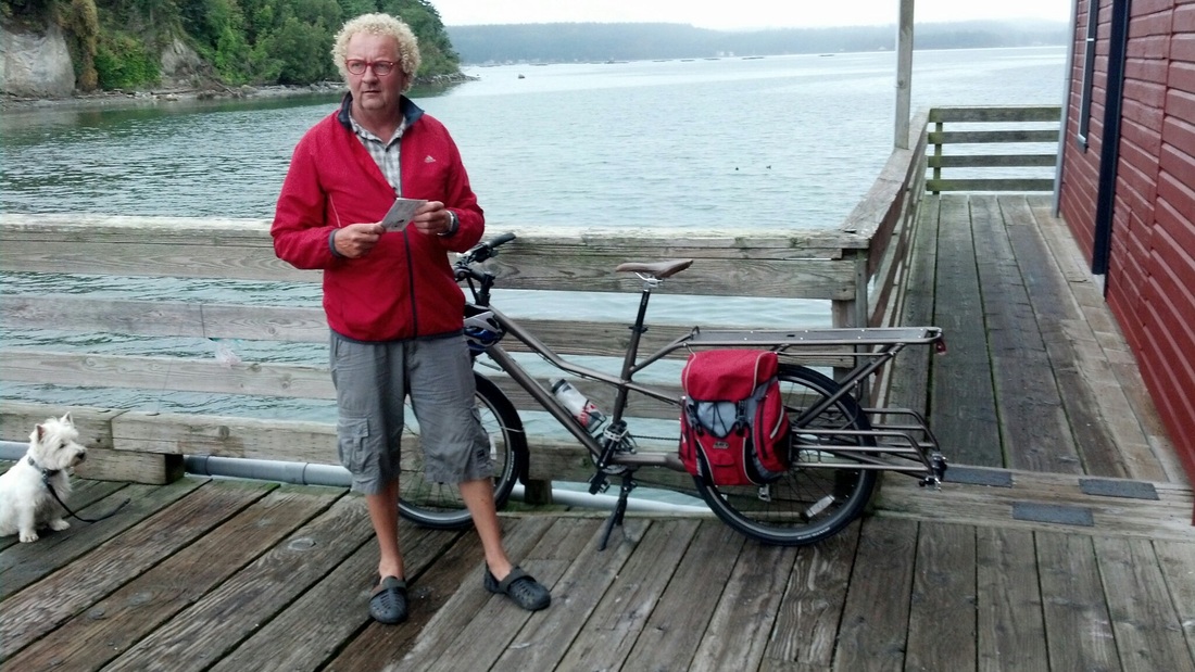
And yes, there were a couple of user errors along the way, as well. After 80+ miles, you wouldn't think I'd cycle right past the place I was staying, would you? I did. Fortunately, I figured it out a half-mile down the road. The Westport Bayside B&B was the perfect choice for the night and Tracy and Richard are wonderful hosts.
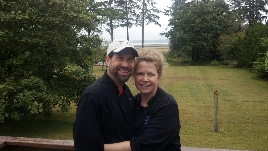
I remember thinking "nice place," as I rode right past the B&B I was supposed to be staying
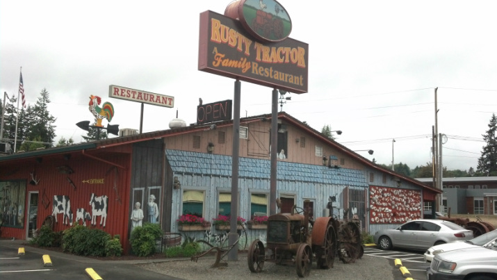
All these redirects didn't cost me a lot of miles but it probably cost me close to an hour of time. That was due mostly to stopping to check maps on my pda at least 8-10 times. Even when you figure out where you are, you don't necessarily have a clue which direction you have to go to get back on course. The other time killer happened because one of my Polar cyclometers decided to stop recording mileage after the Rusty Tractor stop. No problem, right? Just use the other one. Ya, but now your turn-by-turn mileage is off for two reasons: all the re-routing additions, and the fact the new cyclometer starts at mile zero. I was constantly doing algebra equations from my bike trying to figure out what mileage my cyclometer would be at when my turn-by-turns would tell me I needed to "turn right on Bayview Rd. at mile 73.7."
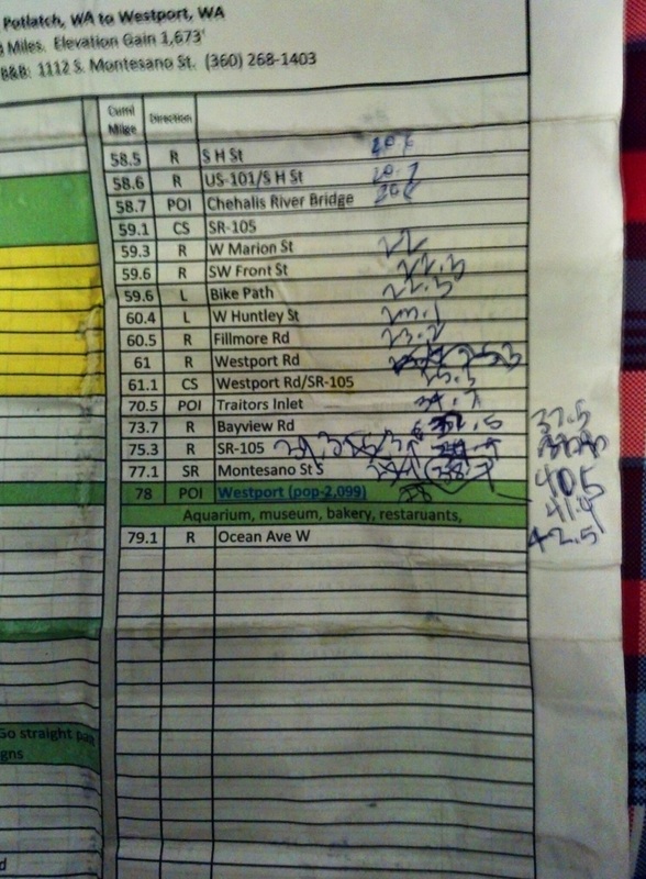
Hey, you try to figure when to turn!
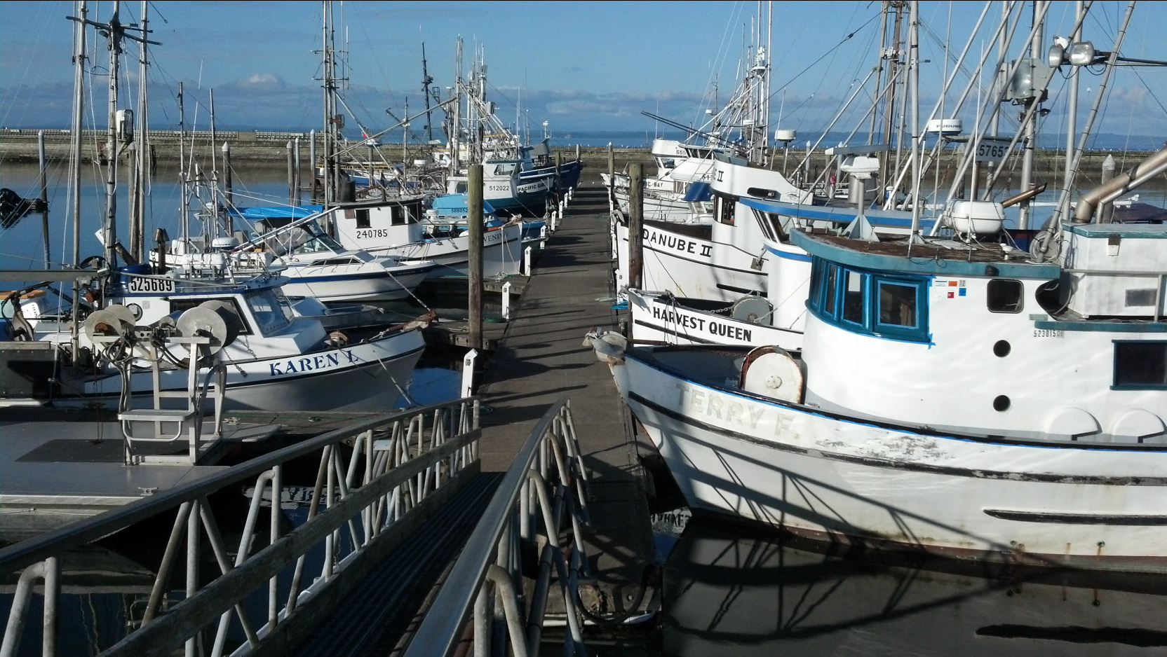
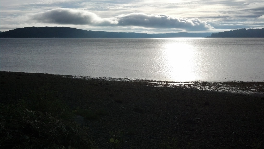
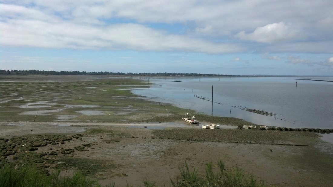
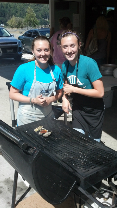
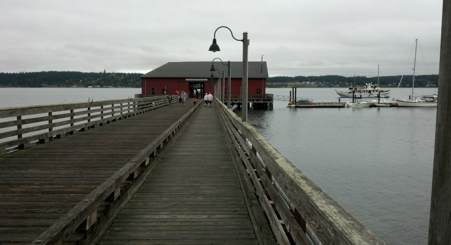
I eventually made it and I actually feel pretty good. None of my injuries are bothering me but I've already spent more than 16 hours in the saddle, and you show me any seat that's comfortable for 16 hours! I was rewarded with a few great pics down near the Marina in Westport.

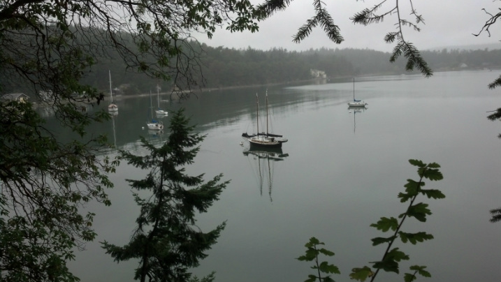
Fishing boats
More fishing boats
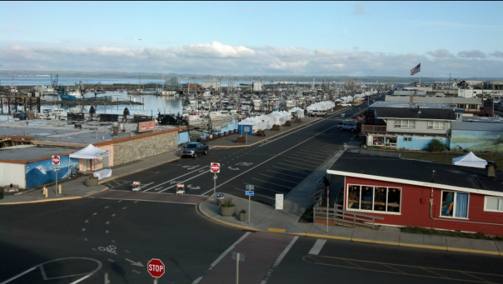
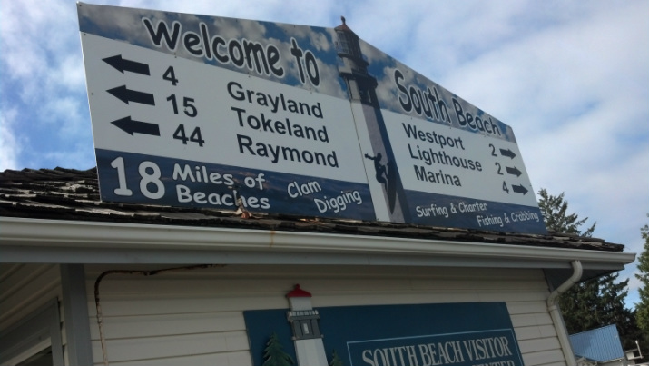
Westport
Day 3 Recap: Potlatch to Westport, WA
Actual Miles: 86.0
Cumulative Miles: 220.7
Elevation Gain: 1,722'
Cumulative Elevation Gain: 7,521'
% Distance to Mexico: 11.7%
Actual Miles: 86.0
Cumulative Miles: 220.7
Elevation Gain: 1,722'
Cumulative Elevation Gain: 7,521'
% Distance to Mexico: 11.7%


 RSS Feed
