BikeTheCoast13: Cycling Canada to Mexico
  • Home
  • Route
  • Planning
  • Why Now?
  • Juvenile Arthritis
  • Blog
  • Live GPS Tracker
  • Support Jeff

GPS TRACKING COMPLETE:  View Entire Pacific Coast Route Below!


Picture
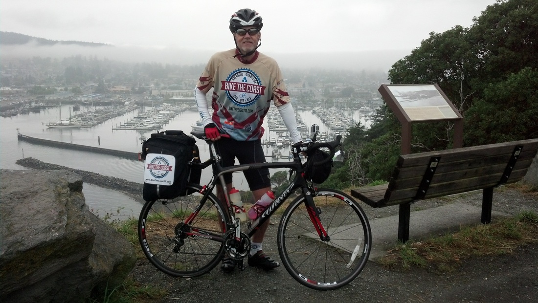
Starting in Swartz Bay, British Columbia, I somehow managed to navigate my bike 1,880 miles to Tijuana, Mexico.  During the entire route, I had a live GPS Tracker running so that friends and family could see where I was at any given time.  It worked great, it was fun, and I now have a cool line on a map that represents one of the best experiences of my life.  If you want a live GPS tracker for you ride, I highly recommend the GreenAlp Real Time GPS Tracker.  The support you get is great and it worked flawlessly for me.
Picture

LIVE GPS TRACKING
Final Six Days..........

October 3 (Day 24):
Pismo Beach, CA to Buellton, CA

October 4 (Day 25):
Buellton, CA to Ventura, CA
 

October 5 (Day 26):
Ventura, CA to Manhattan Beach, CA

October 6 (Day 27):
Manhattan Beach to Dana Point, CA

October 7 (Day 28):
Dana Point, CA to Solana Beach, CA

October 8 (Day 29):
Solana Beach, CA to Tijuana, Mexico


View Larger Map
Click for All Route Descriptions

For best results, select "View Larger Map"

Picture
Donate to
BikeTheCoast13

Powered by Create your own unique website with customizable templates.